Sew La Ti Embroidery [Search results for Natural Heritage]
Heritage: A new Zimbabwe site on the World Heritage List?

Near East: Wind power plant to be built on ancient necropolis

Heritage: Africa's ancient art to be saved, with your help

Heritage: UNESCO designates nine Mexican sites for special protection

Heritage: Taxila, the lost civilisation

East Asia: China starts restoring Great Wall's oldest section

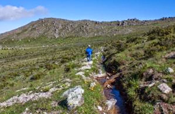
Natural Heritage: Pre-Inca canals may solve Lima's water crisis
Near East: UNESCO to monitor ancient sites by satellite

Heritage: World’s most inaccessible art found in the heart of the Colombian jungle

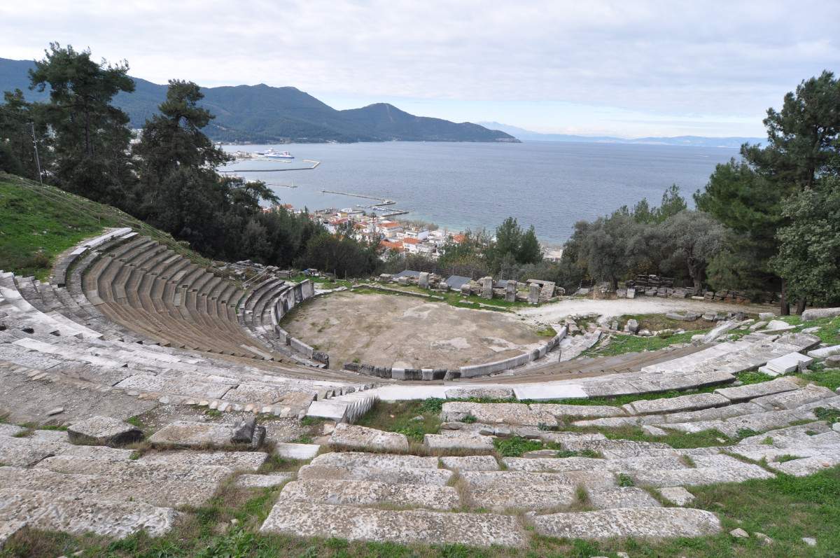
Heritage: Ancient theatre of Thasos restored with local marble
North America: Archaeologists call on feds to protect Chaco Canyon area

India: Prehistoric cave art near Agra in peril

More Stuff: Herculaneum closed to tourists, staff shortage blamed

Near East: Historic castle in southeast Turkey to be restored

Redevelopment of the Car Factory In Porte d'Ivry [France, Paris]
![Redevelopment of the Car Factory In Porte d'Ivry [France, Paris]](https://blogger.googleusercontent.com/img/b/R29vZ2xl/AVvXsEivUZLoroGU_FG4ukCnZ7xsCxTfsqj2YH1CHExK101uxOraMd_1EIBrhftjY3S8Z13RRoXT5pNpLKs8augCP1FmwEqrxKqADb8o2HoTL_Ts23b7VzRE1dd7dGU64hRNN_9s3hTvC0eoOG1u/s960/Paris.jpg)
Italy: Neutron scattering helping conserve the world’s great historic monuments
